Introduction
This section provides a brief introduction to GeoExplorer.
To launch GeoExplorer, locate the GeoExplorer component on the OpenGeo Suite Dashboard, and click the Launch link.
The GeoExplorer web application is usually available at
http://localhost:8080/geoexplorer/composer, although your local setup may differ.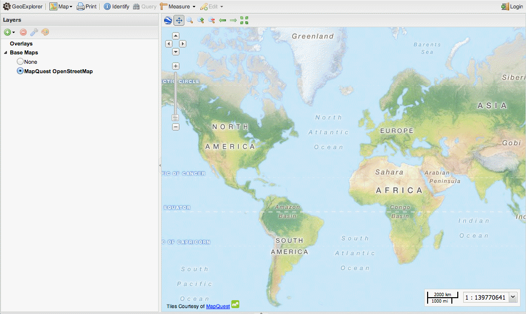
GeoExplorer
To add a new layer to the Map Window, click Add Layers
 on the Layers panel toolbar and click Add layers to open the Available Layers panel.
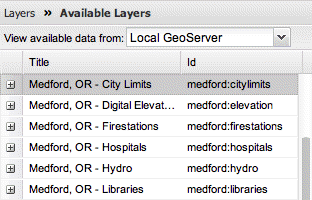
Available layers
In the Available Layers panel, click the layer you want to add to your map and click Add layers at the bottom of the Available Layers panel.
Note
To add multiple layers, hold down Ctrl while you click all the layers you want to add.

Adding layers to GeoExplorer
Note
You can also add a new layer by double-clicking a layer in the Available Layers panel.
To add a new WMS server, in the View available data from list, click Add A New Server.
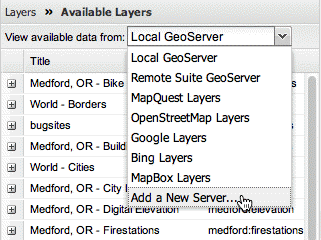
Adding a new WMS server
An example of a WMS URL is:
http://sampleserver1.arcgisonline.com/arcgis/services/Specialty/ESRI_StateCityHighway_USA/
MapServer/WMSServer
Adding the URL for a new WMS server
Once you’ve added the URL for the new WMS server, click the Add Server button.
Click the Done button to return to the Layers panel.
To rearrange the layers in your map, click and drag a layer up or down the list of layers in the Layers panel.
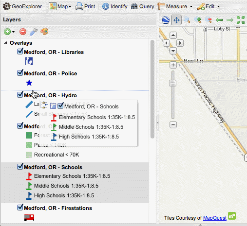
Ordering layers
You can also generate a map application, and the HTML code to embed into a web page, based on the layers in your Map Window. On the GeoExplorer toolbar, click Map and then click Publish map to open the Publish map dialog box.

Publish map tool
In the Publish map dialog box, select the map tools you want to include in your map application.
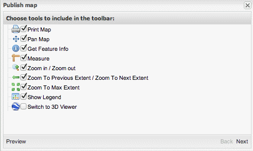
Selecting the map tools
Click Preview to create a preview of your map application.
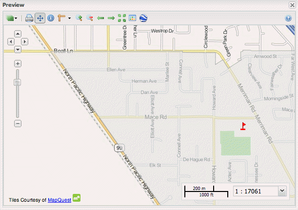
Previewing a map
Click Next to generate the HTML code.
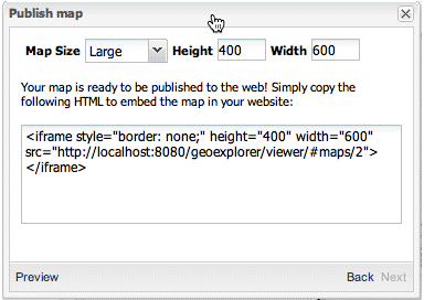
Generating HTML code
Copy and paste the HTML code into your own web page to view your map application.
For more information on working with GeoExplorer, please refer to Using GeoExplorer.